Most losses are from residential properties
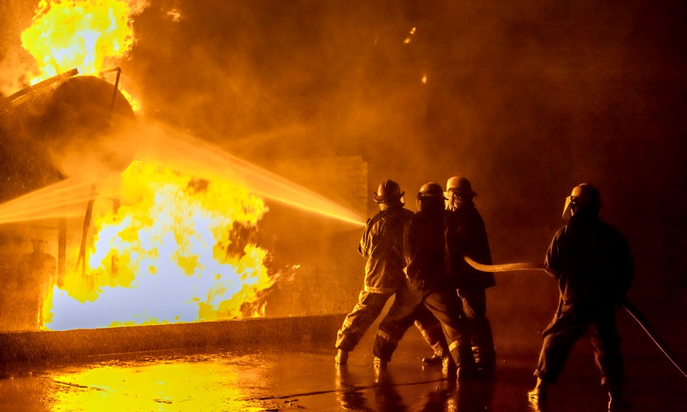
The wildfires that raged across Eaton and Palisades in Los Angeles are expected to cause extensive financial losses, with preliminary estimates from CoreLogic projecting residential and commercial property damages ranging between $35 billion and $45 billion.
As containment efforts remain under 50%, the fires highlight the ongoing risks posed to densely populated areas near wildland-urban interfaces.
Final insured loss figures will be released after the fires are fully contained.
CoreLogic’s estimates account for damage from fire and smoke, as well as costs for debris removal, cleanup, demand surge, and additional living expenses (ALE). Residential properties constitute the majority of the losses, with many high-value homes contributing to the overall financial impact. Even moderate damage to these properties could result in significant claims.
CoreLogic Insurance Solutions senior director Tom Larsen said that the destruction from the fires is expected to be the most costly in California’s history, with long-lasting effects on the insurance industry.
"This event highlights the paramount challenge for homeowners and the insurers that support them – the increasing density of homes and properties near the wildlife-urban-interface,” he said.
Larsen also noted that while Los Angeles is a resilient community, rebuilding will require incorporating mitigation practices to prevent future disasters of this scale.
To support recovery efforts, CoreLogic has donated to the Red Cross to assist those affected by the fires. The company encourages others to contribute to disaster response initiatives through the organization.
The loss estimates are based on CoreLogic’s US Wildfire Model, which incorporates over 3.5 million stochastic events and includes fire and smoke damage. The model utilizes terrain and environmental data at a resolution of 30m x 30m and covers multiple states, including California, Arizona, and Colorado. This framework provides a detailed assessment of potential financial impacts.
How can communities better prepare for similar challenges in the future? Share your thoughts in the comments.